Preparedness (Beredskap)
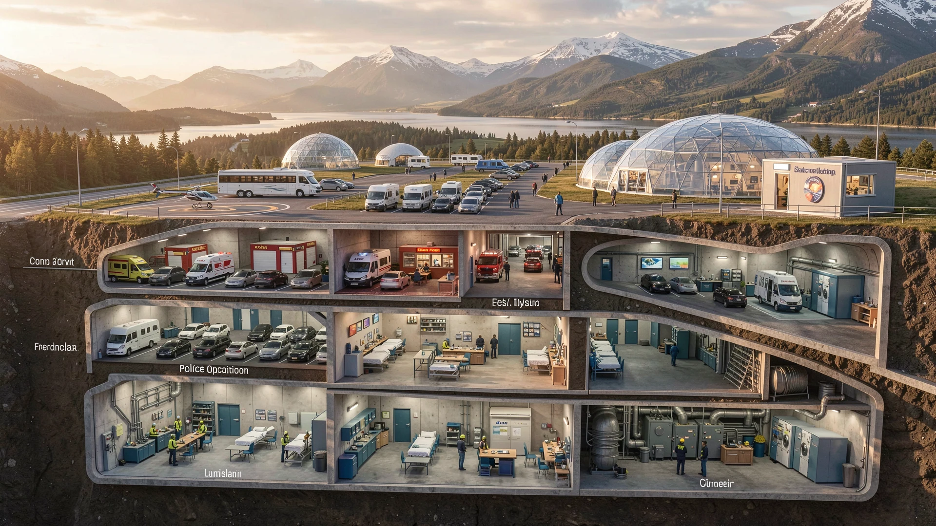
Preparedness functions integrated in the area development — storage, response, community resilience.
The idea
Preparedness functions integrated in the area development — storage, response, community resilience.
Role
Civil preparedness capacity
Revenue logic
Primarily public value; possible shared facilities.
Societal value
Safety and resilience for residents and visitors.
Preparedness system: Kvænnes–Nordkjosnes–Storvik
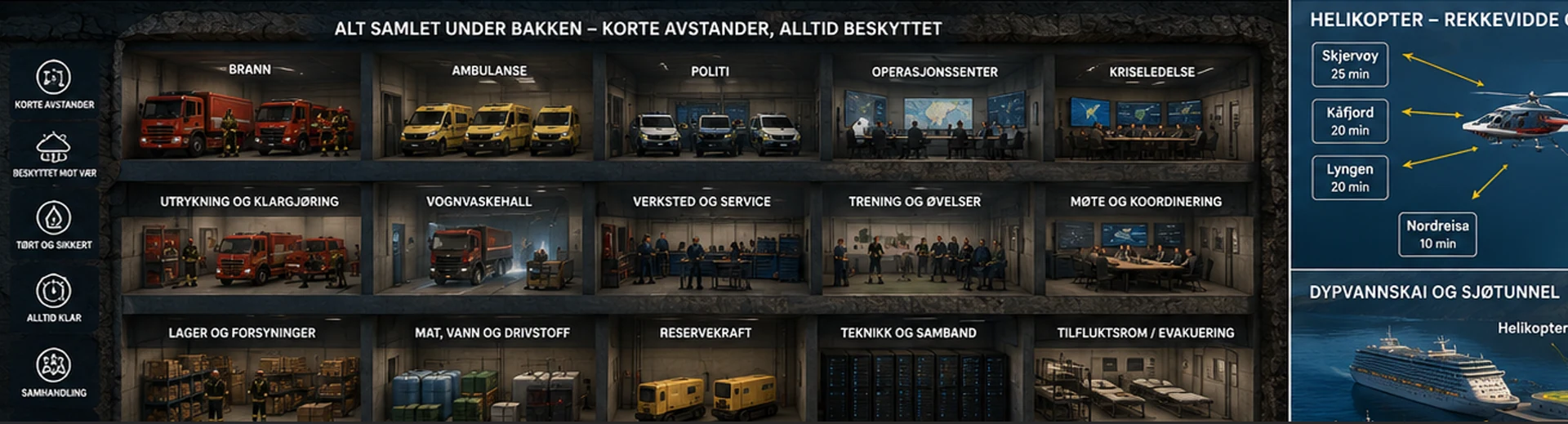
Internal PALT planning graphics for AP07 sketch a linked tunnel and facility system connecting three points: a deep-water quay and preparedness harbour, a mountain facility at Nordkjosnes, and an operational preparedness hub at Kvænnes. The figures below are draft planning estimates read from those graphics, not confirmed engineering figures — exact lengths vary slightly between drafts.
- Dypvannskai og beredskapshavn (deep-water quay and preparedness harbour) — linked by a secure branch tunnel to the Nordkjosnes mountain facility.
- Nordkjosnes – fjellanlegg (mountain facility): approx. 0.65 km², including approx. 0.25 km² of fjellhaller (mountain halls).
- Hovedtunnel E6–Nordkjosnes (main tunnel): approx. 4.5 km (draft figures: 4.54 km / 4.47 km).
- Tunnelarm til Indre Storvik (tunnel arm to Indre Storvik): approx. 2.5 km (draft figures: 2.55 km / 2.52 km).
- Kvænnes – operativt beredskapsnav (operational preparedness hub): its own E6 portal, with the Byggetrinn 3 dome cluster sited alongside it.
Source: PALT internal planning graphics (Nordkjosnes–Kvænnes–Beredskap series). Draft figures only — to be confirmed by geotechnical and engineering study.
Plan change needed
Reserve preparedness functions in plan.
Dependencies
AP07 phasing; municipal emergency planning.
Next step
Needs statement with municipality emergency lead.
Visuals
Have a suggestion for this page?
Have a suggestion? Your email app opens with a draft addressed to the PALT team. Review the message and send it from your email app.